Weserbergland - Apelern, Lower Saxony, Germany
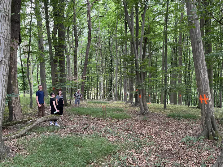
In our project ConFor “Ecohydrological connectivity between trees and the capillary zone - a key driver for drought resilience of European forests?” we investigate how well European Forests are ecohydrologically connected to the capillary fringe - the nearly water-saturated zone above the groundwater - and how this changes throughout a year and under different climatic conditions (e.g., droughts). For studying this, we were looking for an ‘ideal’ site: One that is relatively natural (unmanaged), has a good distribution of tree-species, is located on a hillslope (for investigating different positions) and that is near a river. It took us a while, but we found our perfect site in the Weserbergland, precisely: in the tiny little village of Apelern.
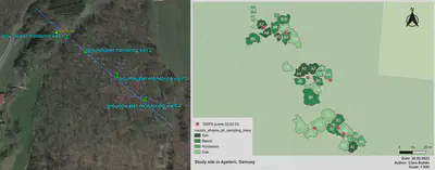
Apelern in Lower Saxony (district of Schaumburg), is located in the Weserbergland, which here extends to 90 - 120 m above sea level. The average annual temperature is 9.8°C and the average annual precipitation is 685 mm. There is an approx. 100-year-old, near-natural mixed stand here, consisting of sessile/stem oak, beech, little-leaf linden, hornbeam and ash. The stand is dense and has not been thinned for at least 20 years. An approx. 300 m long transect was defined in this forest area, which extends from the level hill saddle over an almost constant gradient to the river foreland.
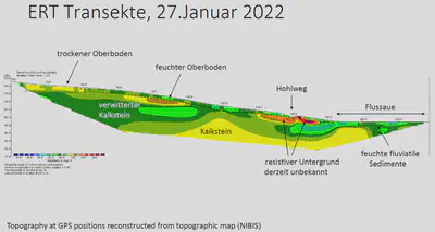
As part of preliminary geophysical investigations, the distribution of the specific electrical resistivity in the subsurface was recorded along the transects by means of geoelectrical measurements down to a depth of about 40 m (see Fig. 1). Here, the electrical properties of the soil serve as indicators for lithological units (e.g., soil, fluviatile sediments, weathered and unweathered rock). Within these units, variations in electrical resistivity indicate variable water contents. According to these preliminary geophysical results, the mixed forest is located on nutrient-rich brown soil of variable, but mostly high thickness >5 m, as can be seen well the figure. The local geology is determined by limestone or weathered limestone of highly variable thicknesses and, in the river foreland, by fluviatile sediments. By considering a slope transect with variable topographic and hydrogeological characteristics, as already indicated in Fig. 1, very heterogeneous root systems, water intake depths as well as groundwater recharge rates are to be expected here.